wellness
Pueblo's Top Walking Trails Rated by Distance and Difficulty
The Pueblo Parks and Recreation Department has assigned distance and difficulty ratings to local paths ahead of peak summer use.
How we reported this
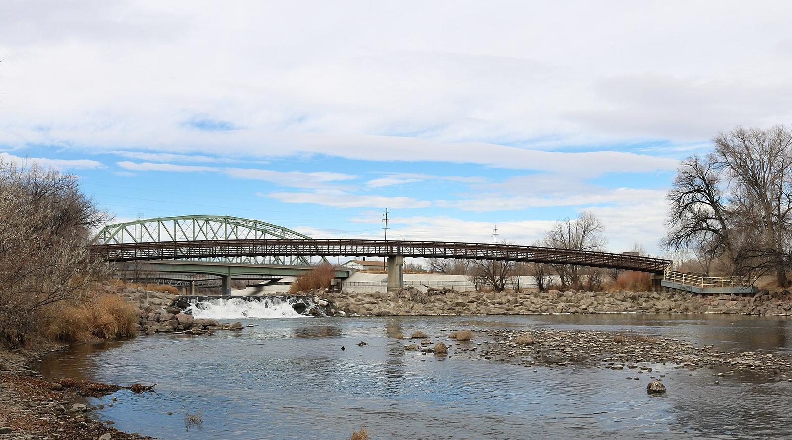
Pueblo Parks and Recreation released updated ratings this week for five walking trails, sorting them by measured distances from 1.8 miles to 7.4 miles and by easy, moderate or strenuous effort levels based on elevation gain and surface conditions.
July marks the start of the busiest season for outdoor activity in Pueblo, where residents have long used city paths for daily movement rather than gym routines, and where the department has tracked a steady rise in trail check-ins through its free app since the program began logging data in 2023.
The Arkansas River Trail runs 3.2 miles along the river from the Pueblo Riverwalk Plaza to the Bessemer Ditch access point. The route stays flat on packed gravel and concrete, earning an easy rating suitable for beginners or those recovering from injury. A second option, the Lake Pueblo State Park Shoreline Path, covers 4.9 miles of rolling terrain with 180 feet of elevation change and is marked moderate.
Shorter loops for daily routines
Mineral Palace Park offers a 1.8-mile paved circuit around the central pond and playground areas that the department rates easy. The loop connects directly to the city’s bike lanes on Abriendo Avenue, allowing walkers to extend their route into the nearby Elmwood neighborhood without crossing major roads. Both the Arkansas River Trail and the Mineral Palace circuit remain free to access year-round, though the state park charges a $10 daily vehicle fee at Lake Pueblo.
Longer routes and usage numbers
Department records show 12,400 unique app check-ins on the five rated trails between January and June 2026, up from 9,800 in the same period last year. The longest entry, the 7.4-mile Strenuous Ridge Trail on the west side of Lake Pueblo, includes steep switchbacks and loose rock sections that require sturdy shoes. Walkers can download the ratings map or pick up printed copies at the Parks and Recreation office on City Park Drive.
Residents planning to try the trails should check the city website for any temporary closures due to maintenance or weather before heading out, and consult a local physician for advice tailored to individual health needs.